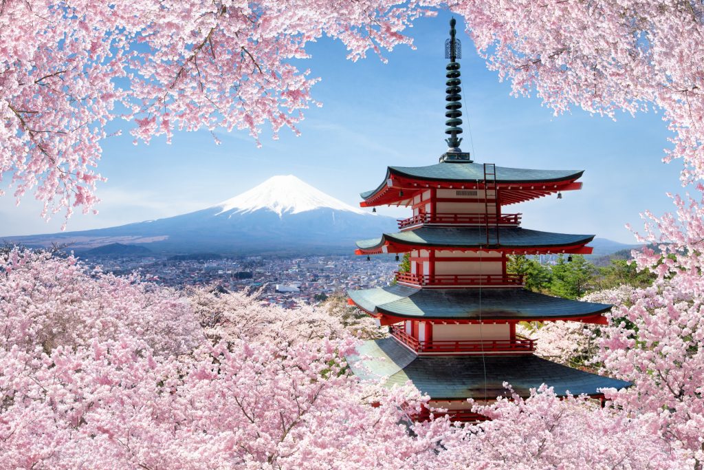
We Help Design Your Dream Japan Trip
We have meticulously curated self-guided itineraries that immerse you in Japan’s vibrant culture, traditions, landscapes, and undeniable charm.


Effortless Booking
Seamless reservation
Secure Transactions
Secure Payment Methods

Hassle-Free Planning
Customized Travel Experiences
Our Most Popular Tours
Classic Japan Self-Guided Tour
Classic Tokyo Self-Guided Tour
Japan Highlights Self-Guided Tour
Anime Japan Self-Guided Tour
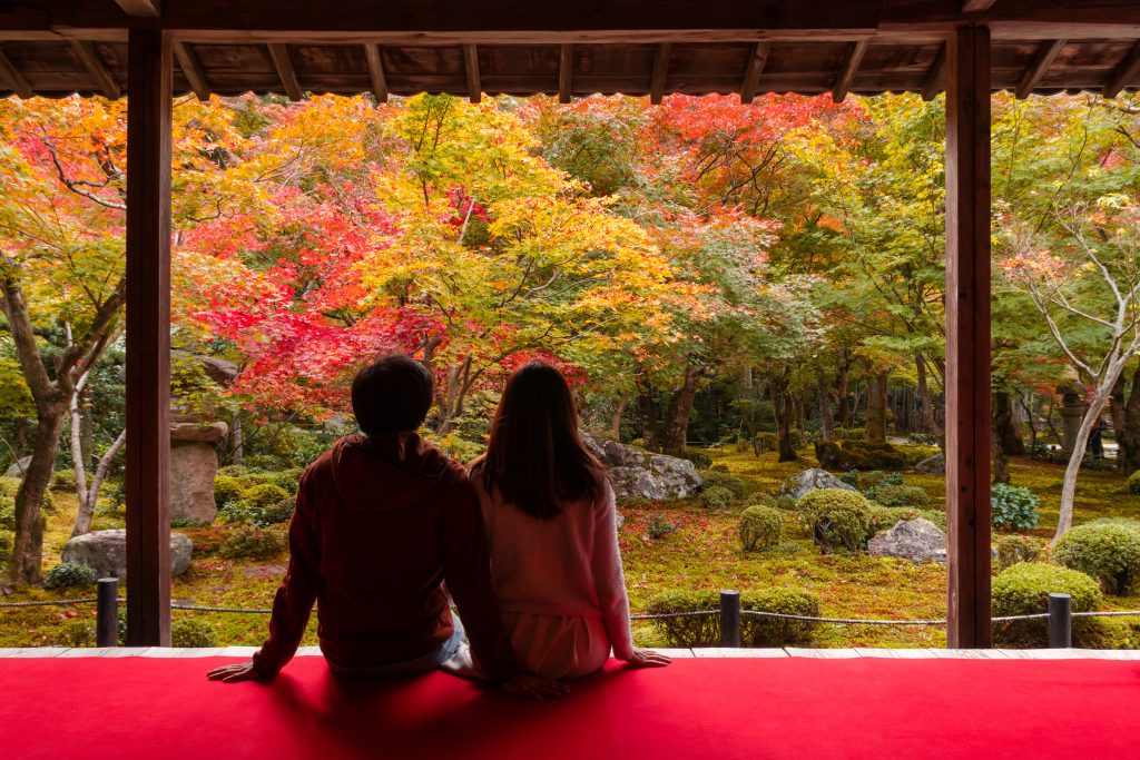
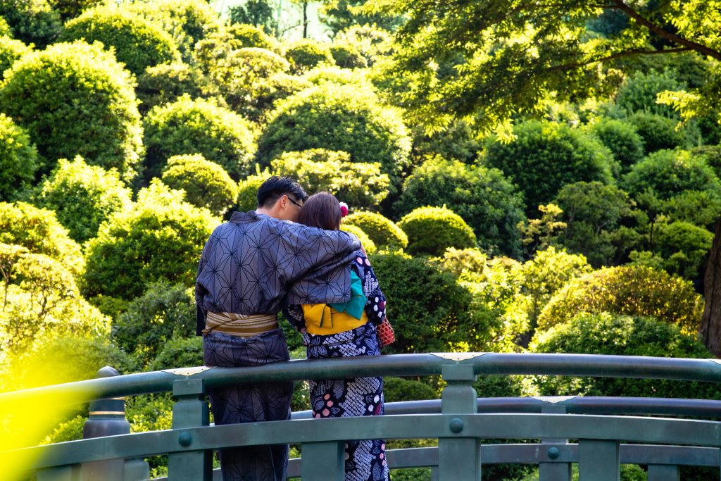
Couples Japan Self-Guided Tour
Grand Tour Of Japan Self-Guided Tour
Japan Honeymoon Self-Guided Tour
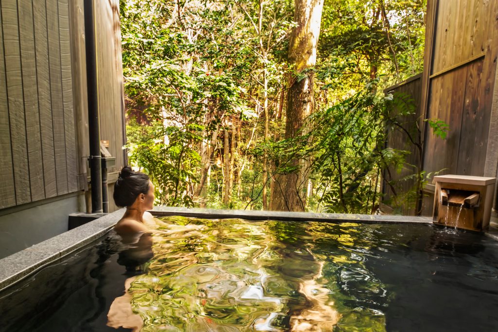
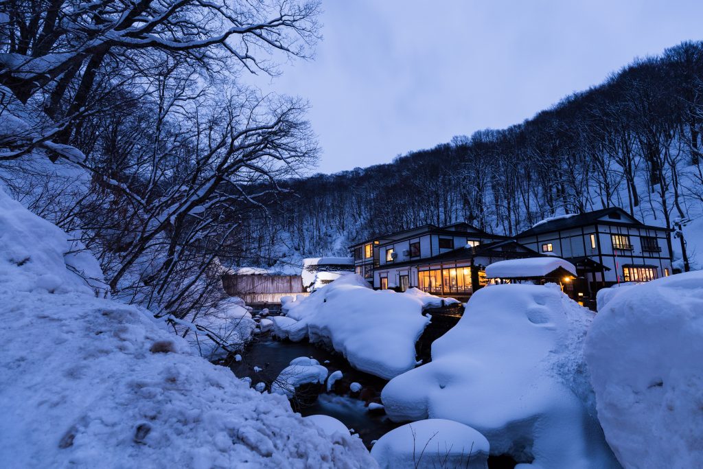
Japanese Onsens Self-Guided Tour
Reasons to Choose Us
We create authentic Japan trips that incorporate main highlights, incredible attractions and fantastic food. Our tours all well-rounded to ensure you experience the ultramodern as well as traditional culture.

Custom Trips By Japan Experts
Our team consists of renowned experts in Japan travel who create the best tours

Authentic Trips And Experiences
Our Japan experts ensure that you have the best and most authentic experiences

Efficient Itinerary Management
Leave the logistics to us as we handle every detail, ensuring a stress-free journey from start to finish

Free Guides And Support
Our Japan specialists will send you exclusive local recommendations before your trip
Japan Travel Guides

Travel Guide to Fukuoka
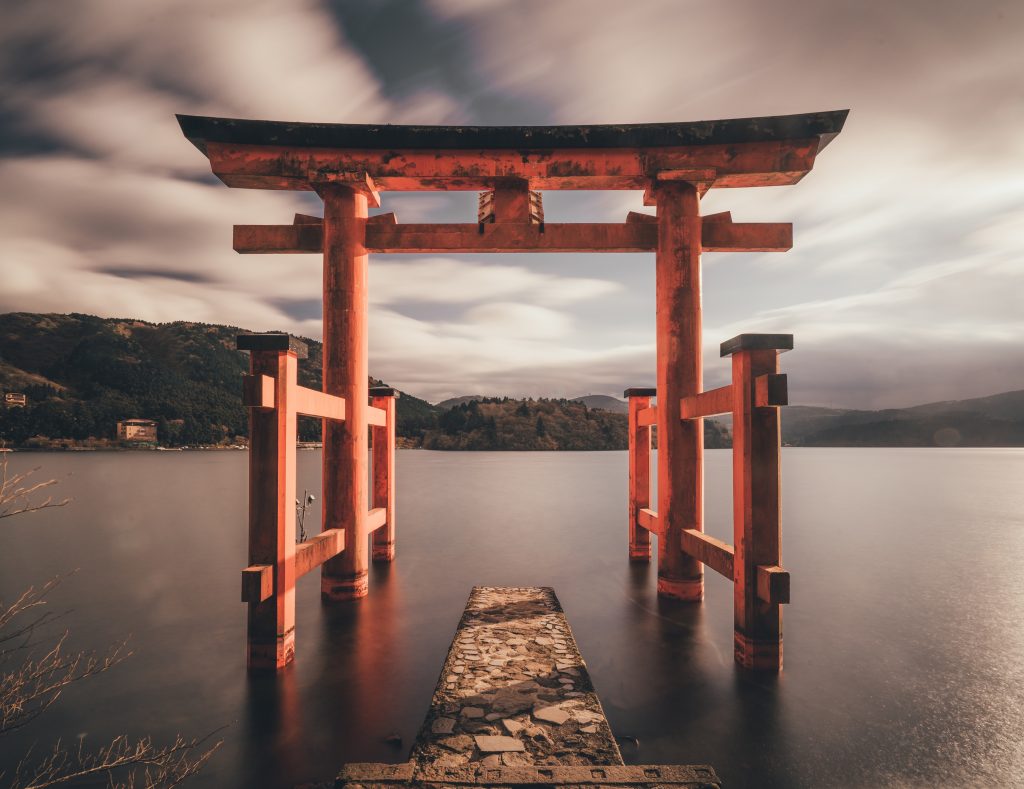
Travel Guide to Hakone
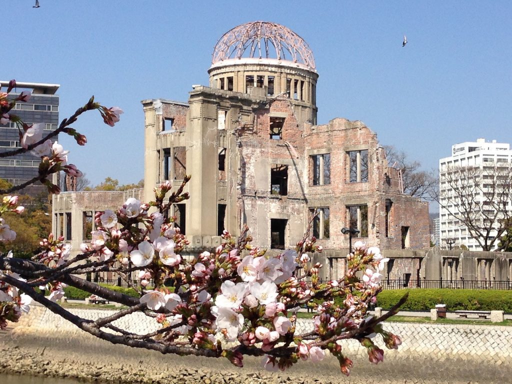
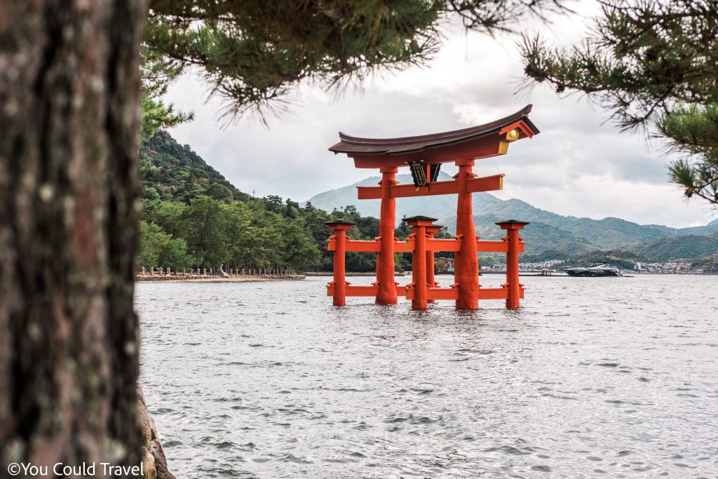
Travel Guide to Hiroshima

Travel Guide to Hokkaido
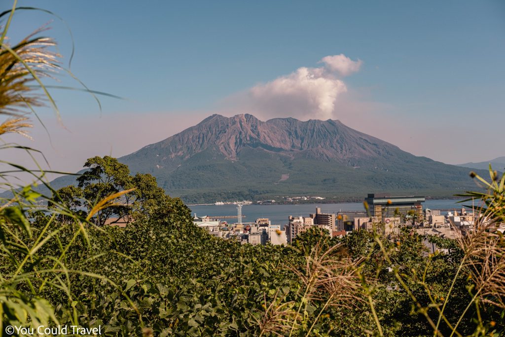
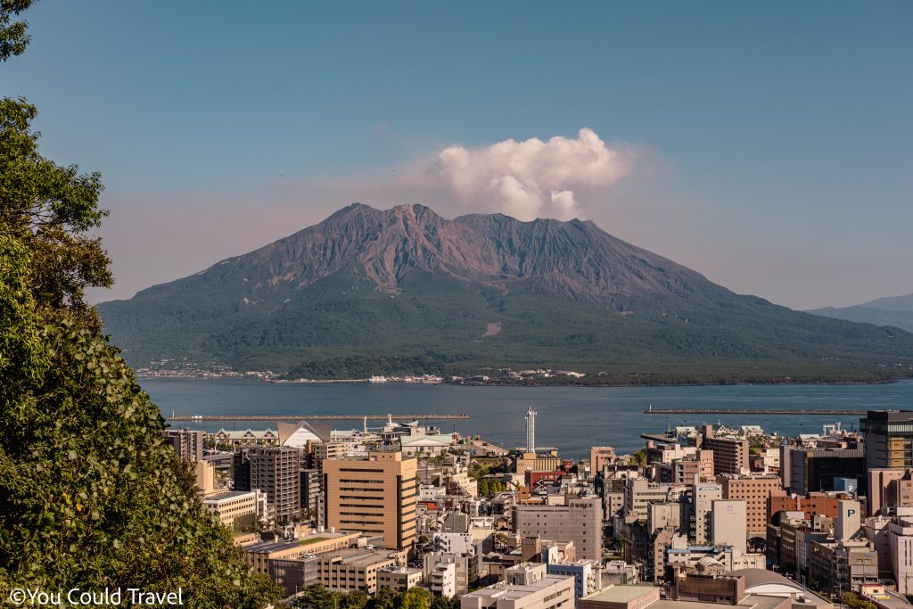
Travel Guide to Kagoshima
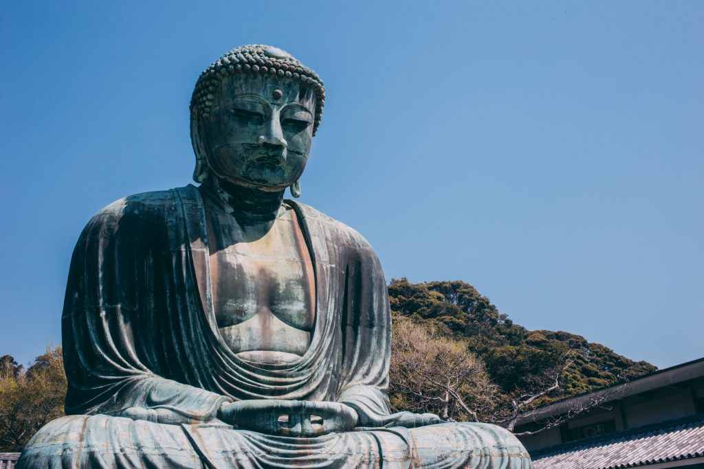
Travel Guide to Kamakura
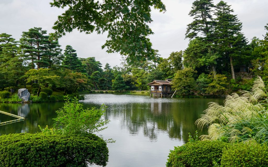
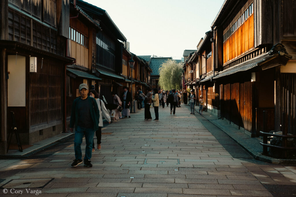
Travel Guide to Kanazawa
Travel Guide to Kawagoe

Travel Guide to Kobe
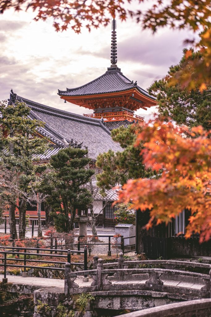
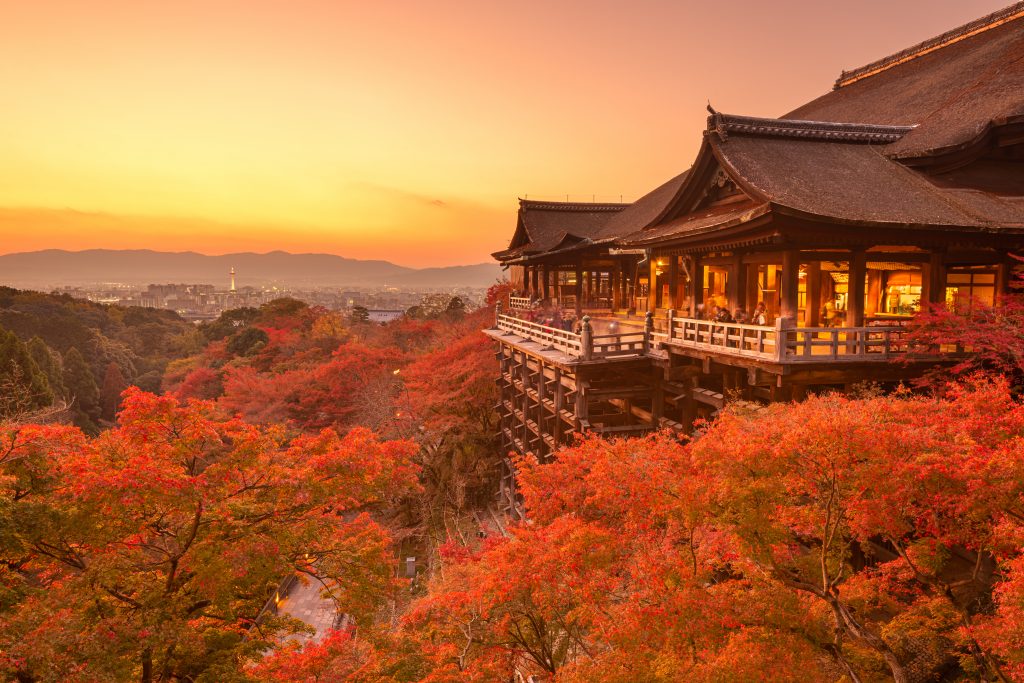
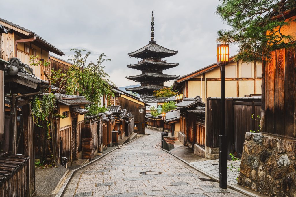
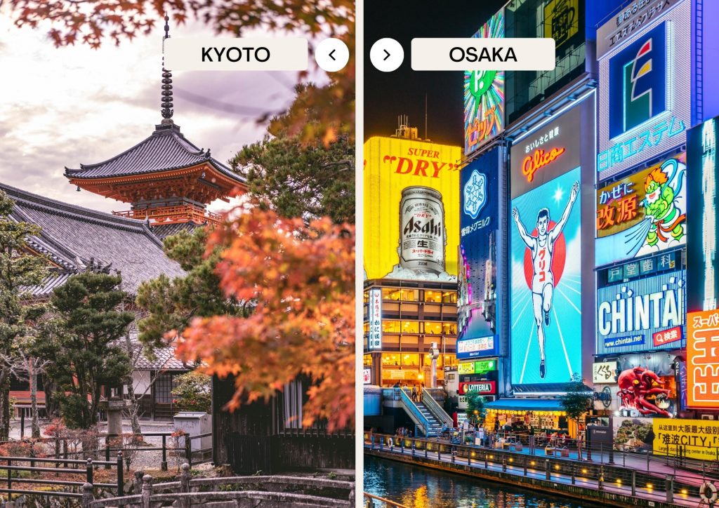
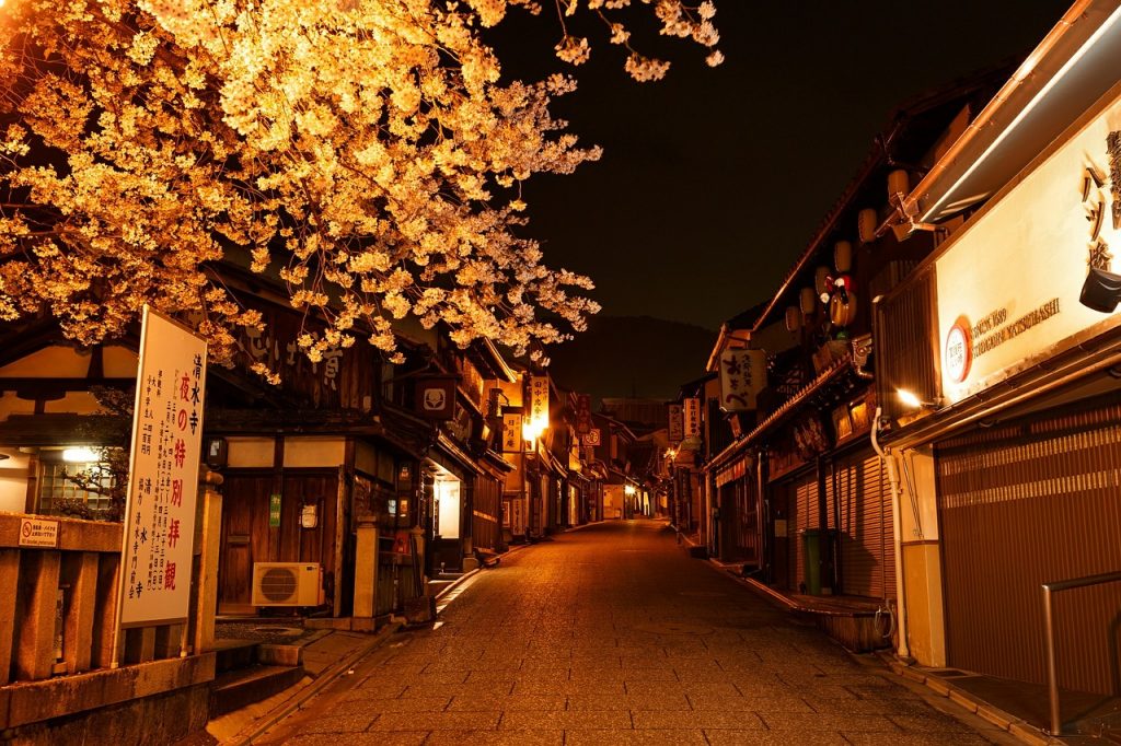
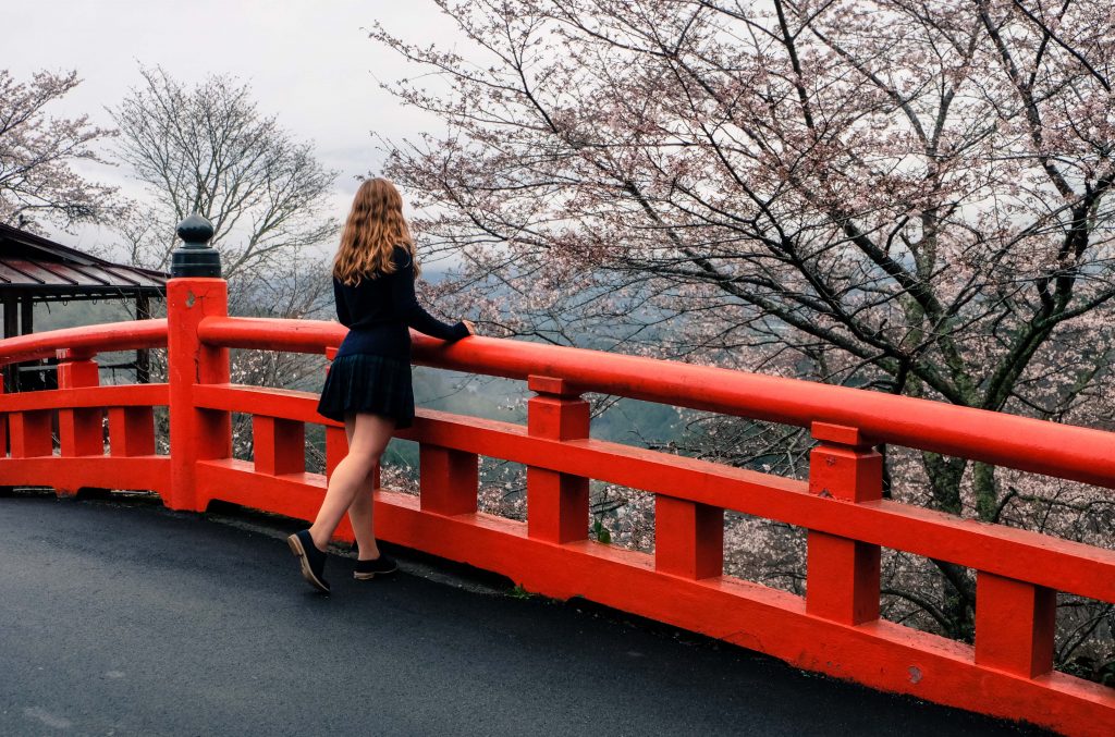
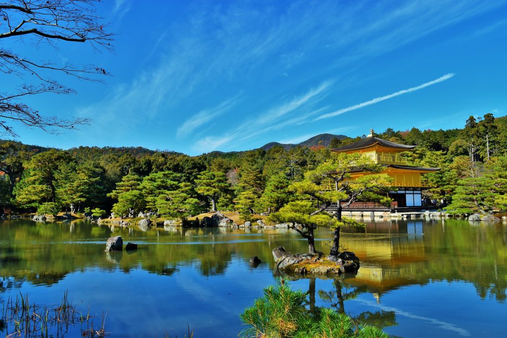
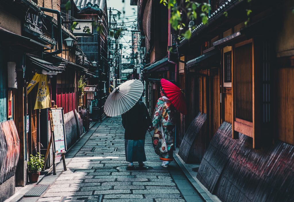
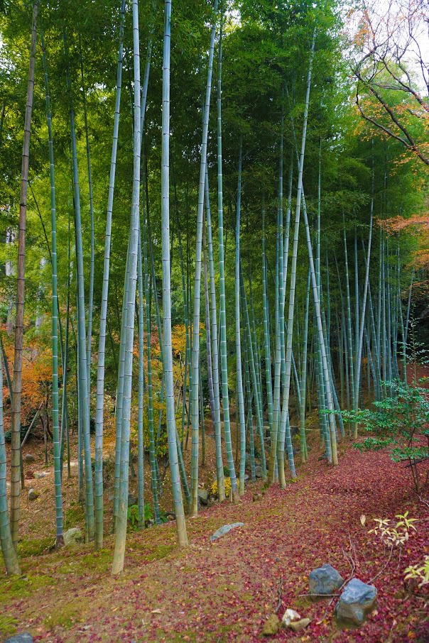
Travel Guide to Kyoto
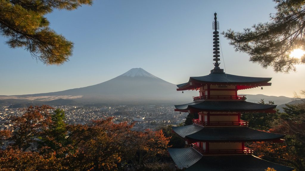
Travel Guide to Mount Fuji
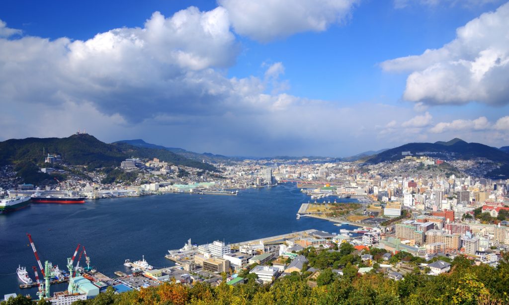
Travel Guide to Nagasaki
Travel Guide to Nagoya
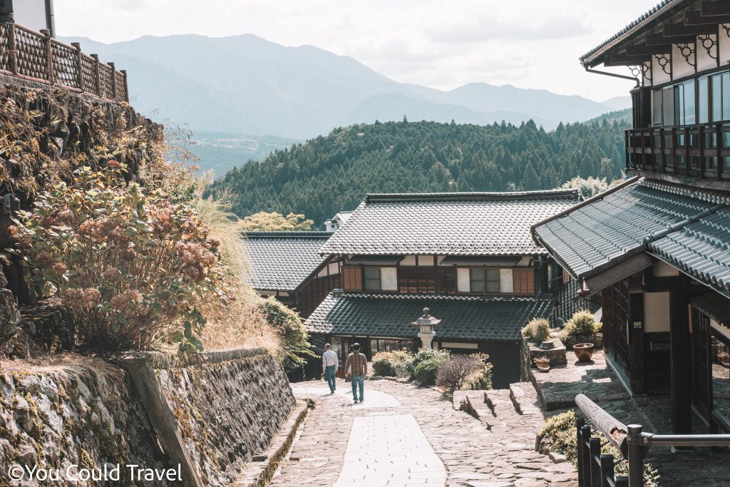
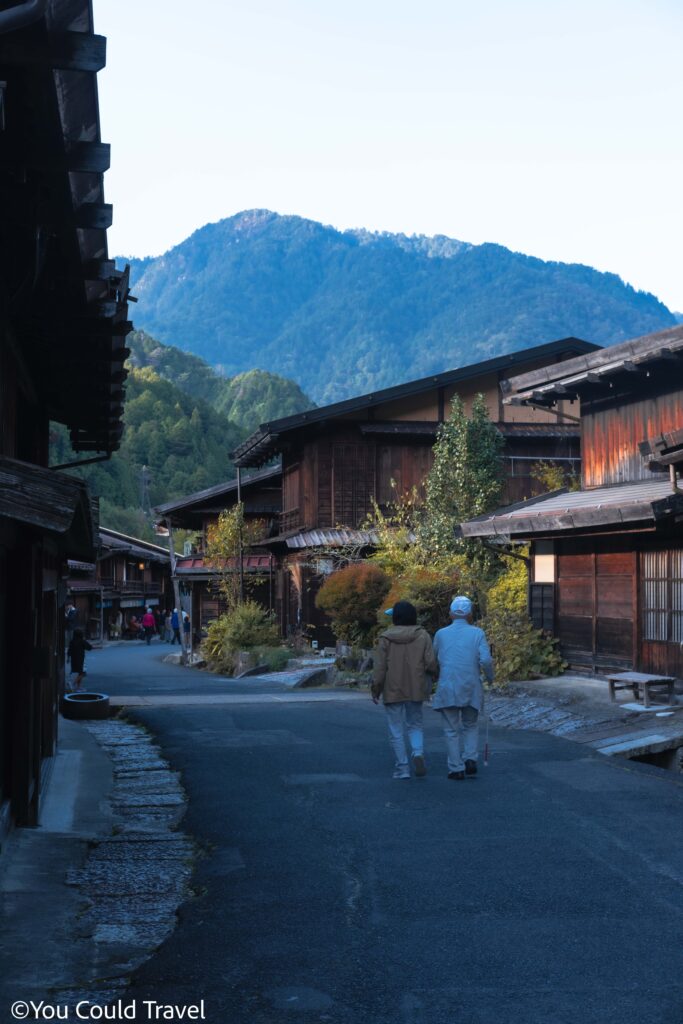
Travel Guide to Nakasendo
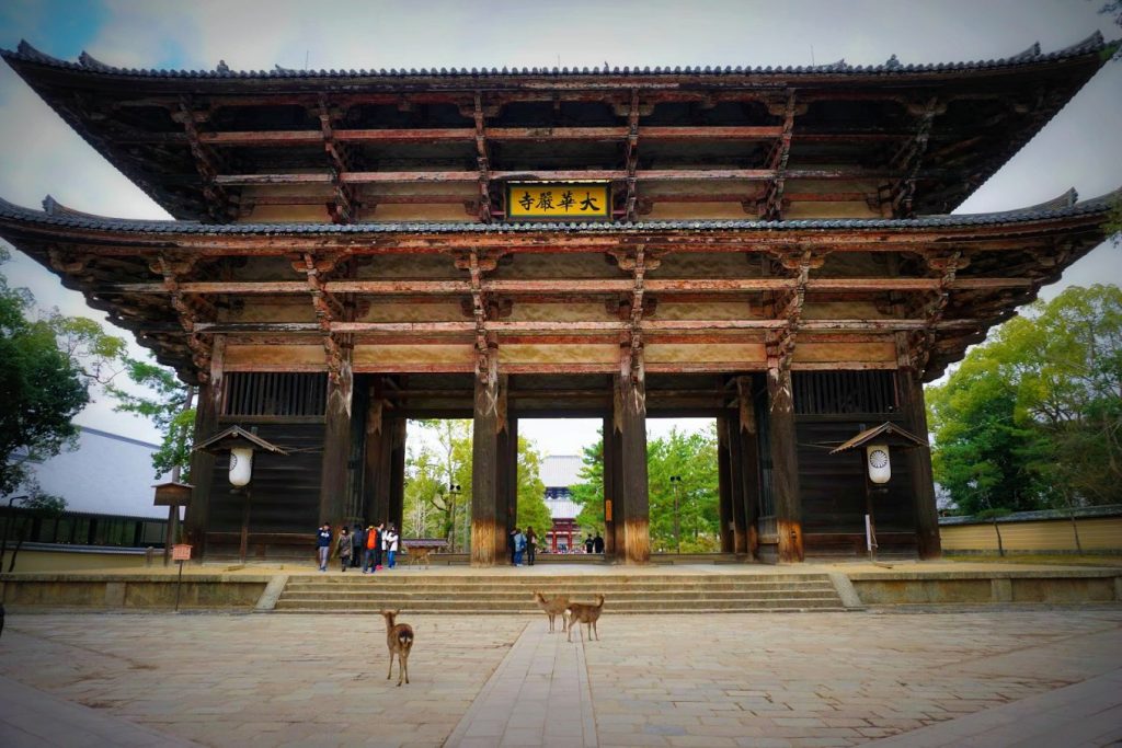
Travel Guide to Nara
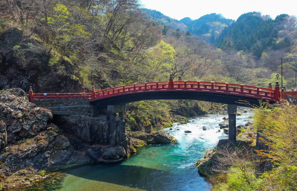
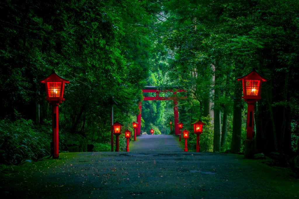
Travel Guide to Nikko
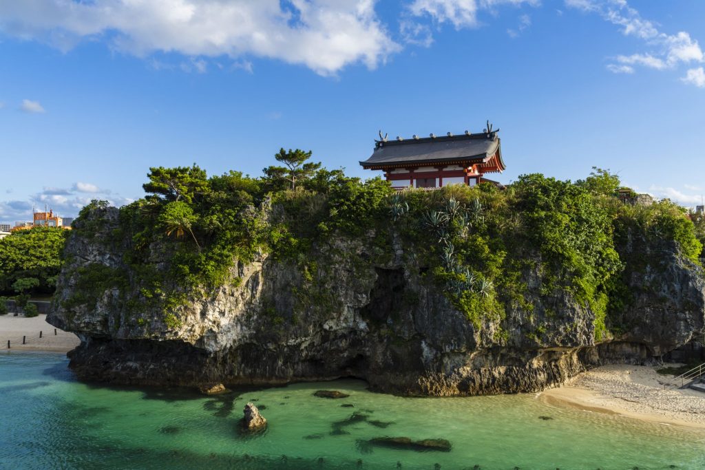
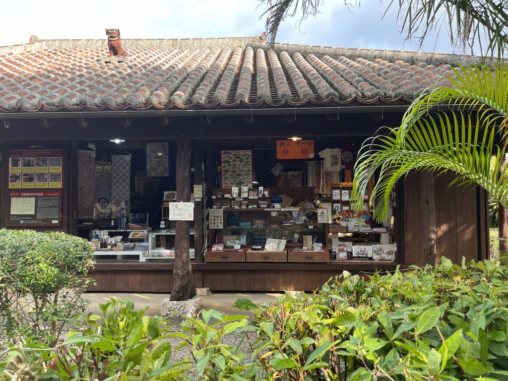
Travel Guide to Okinawa
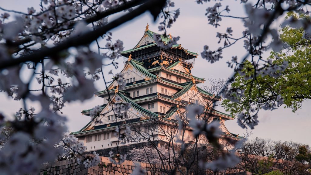
Travel Guide to Osaka
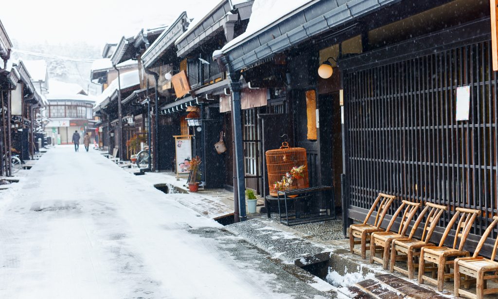
Travel Guide to Takayama

Travel Guide to Tokyo
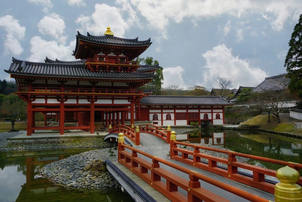
Travel Guide to Uji

Travel Guide to Yokohama
Read The Latest Posts
Magome Tsumago Trail

So Desu Ne Meaning

Best time to visit Tokyo
Things to do in Kanazawa
Hiroshima to Miyajima Day Trip Itinerary
2 day Kagoshima Itinerary
Things to do in Kagoshima

Japan to Launch Digital Nomad Visas in March 2024
Prepare for your visit to Tokyo


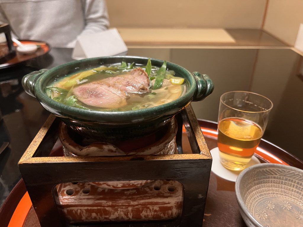
Tokyo Saryo Experience

Best High Tea in Tokyo
Ginza Six Rooftop, Tokyo

Sakurai Japanese Tea Experience

Ogawa Coffee Laboratory
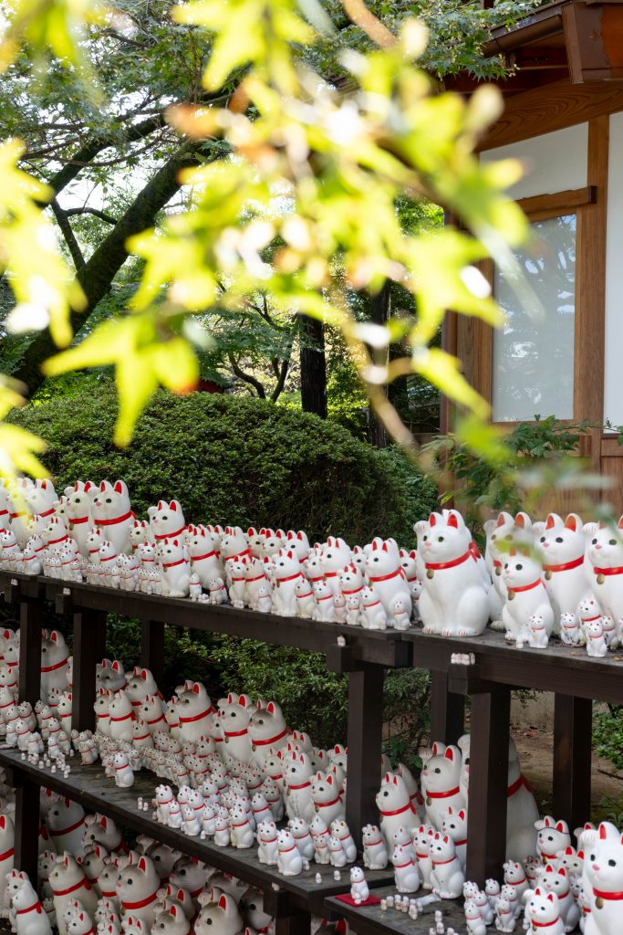
Gotokuji Temple, Tokyo
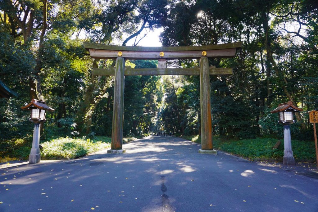
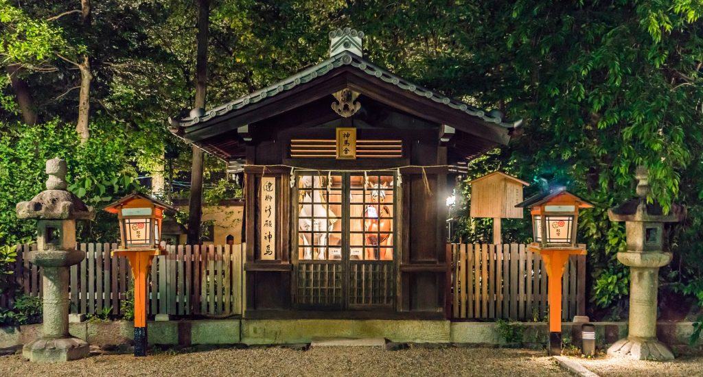
Meiji Jingu (Meiji Shrine)

SunnyHills Aoyama, Tokyo
Prepare for your visit to Kyoto
Kyoto 2 day Itinerary

50 best things to do in Kyoto, Japan
Mount Yoshinoyama in Japan
Day trips from Kyoto
Kyoto Onsen
Where to stay in Kyoto
Kyoto – a perfect combination of ancient and modern Japan
Guide to Kyoto Temples & Shrines
Prepare for your visit to Okinawa


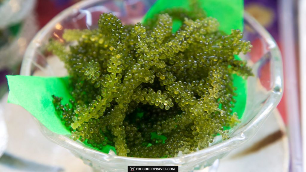
What to eat in Okinawa
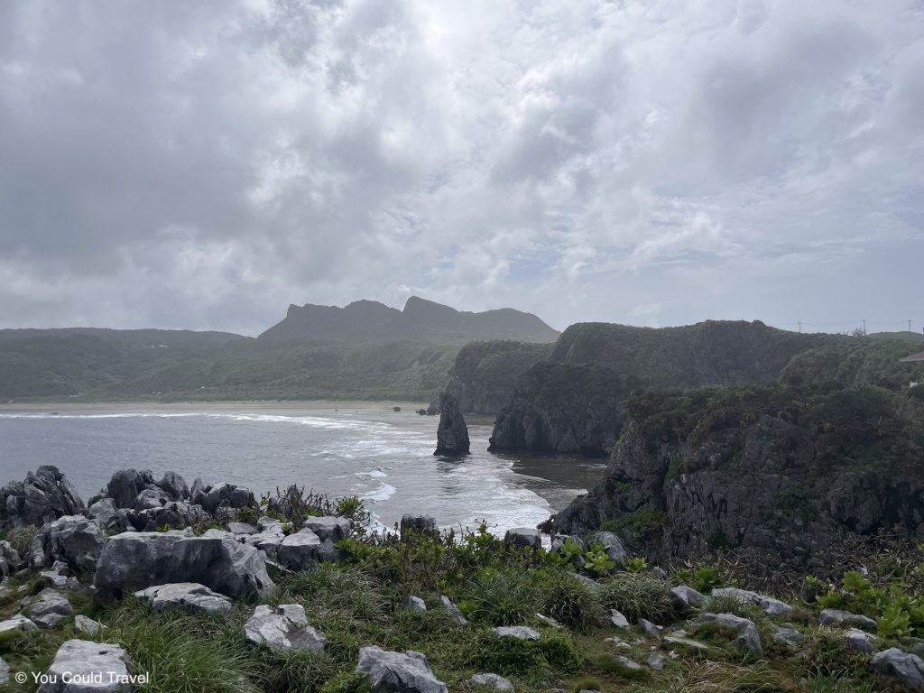
Guide to Cape Hedo Okinawa

Bise Fukugi Tree Road

Discovering Gyokusendo cave

5-day Okinawa Itinerary
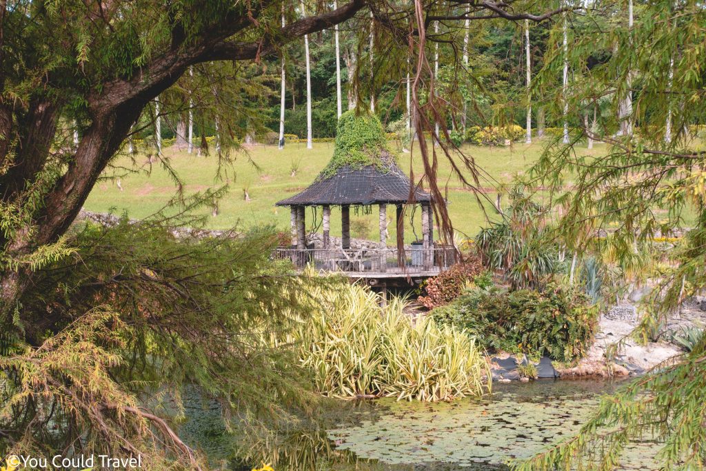
Okinawa Southeast Botanical Gardens
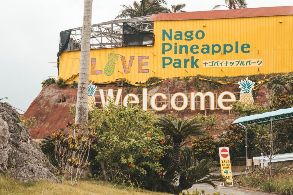
Nago Pineapple Park in Okinawa